Trending now






Featured Products
OS Personalised Maps
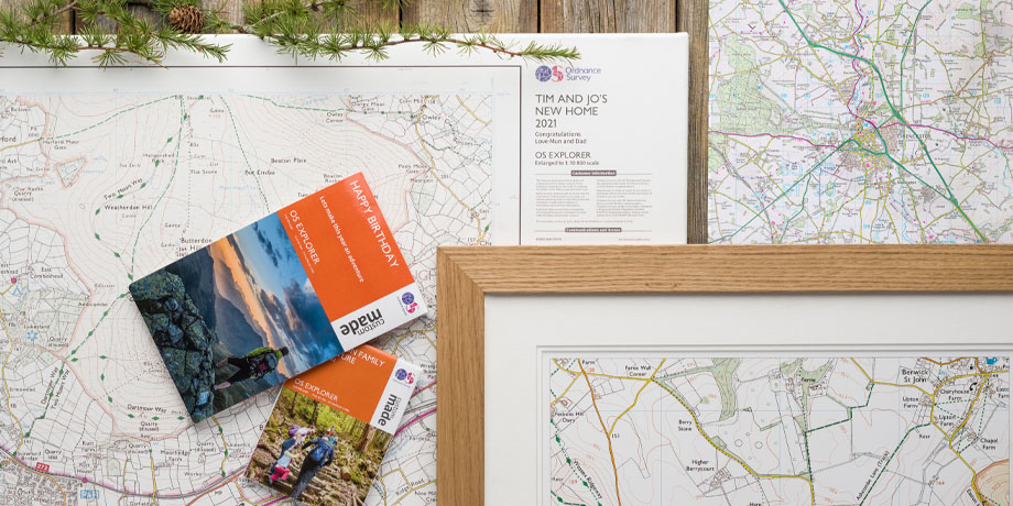
Your own unique map, whether it's for your next adventure or the perfect gift.
OS Historical Maps
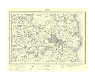
Discover Great Britain's past with our collection of historical maps.
OS Puzzle Books
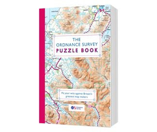
These unique books use OS mapping to create clever puzzles, brain-teasers and challenges that take you across Great Britain.
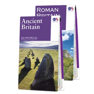



Ordnance Survey Collections
OS Explorer Maps
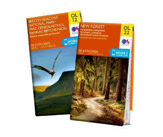
Our orange Explorers are the only maps of Great Britain to display footpaths, car parks, contour lines, campsites, pubs, and more.
Save 25% NowOS Landranger Maps
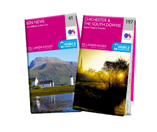
Our pink Landranger maps cover long distances, ideal for longer hikes, cycling tours, or driving holidays.
Save 25% NowShort Walks Guides
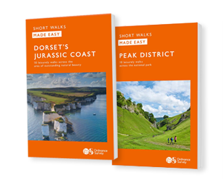
Beginner‑friendly routes from one to five miles, with simplified mapping and clear directions. Designed to make exploring Britain easy, accessible and enjoyable.
Discover WalksPathfinder Guides
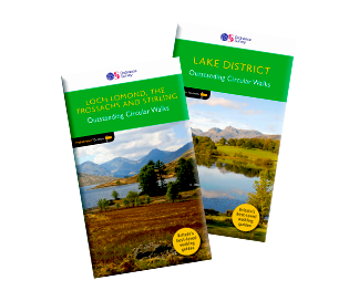
Want routes planned for you? Pathfinder guidebooks provide flexible walking options for every level.
Save £3 today
Your adventure, your way
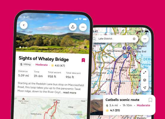
New to OS Maps? Try OS Maps Premium for 14 days with a Free Trial
- Detailed maps for all UK
- Millions of routes to discover
- Download maps to use offline
OS Maps Subscription continues until cancelled. Account required.
Free delivery on all orders

7 Ways to Help Wildlife Recover
Discover how you can help wildlife recover after a summer of wildfires.
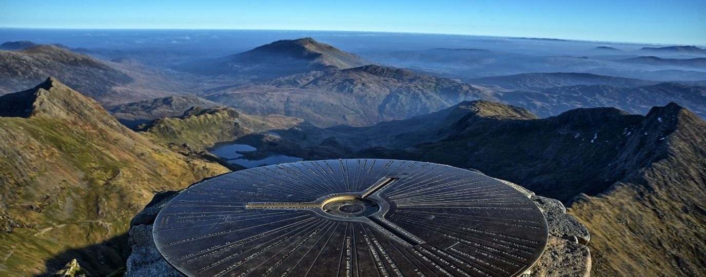
A Princess and the National Three Peaks Challenge
Find out how to take on the National Three Peaks Challenge like the Princess of Wales.
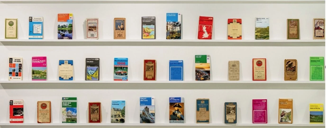
What can a map tell us about Britain?
Will Millard Tells The Story of an Island Through the Ordnance Survey Archives.