




Pathfinder
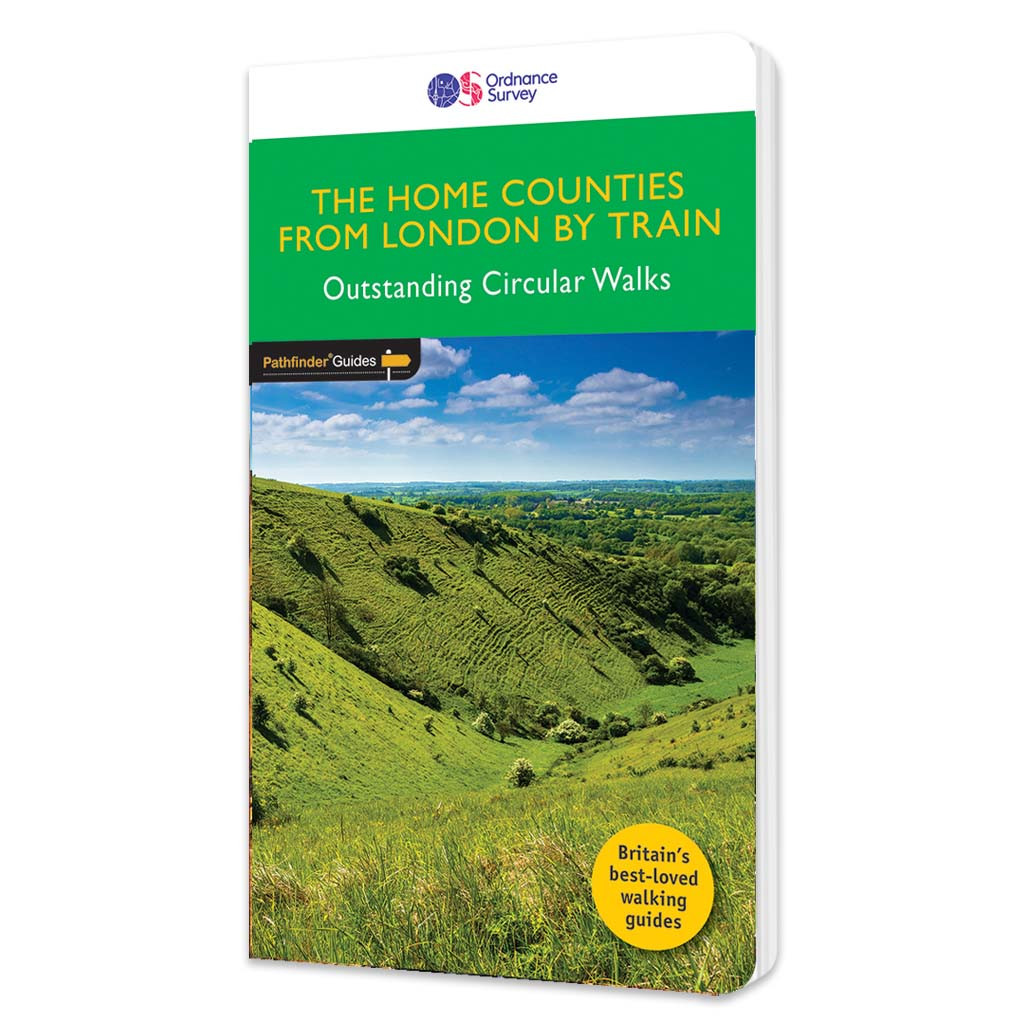
The Home Counties from London by train Walking Guidebook - OS Pathfinder Guides
Free delivery on all orders (more info)
The all-revised edition contains 27 carefully selected walks, all chosen to be easily accessible from London's main railway stations. The routes lie across Essex, Bedfordshire, Oxfordshire, Surrey, West Sussex, East Sussex, and Kent. With routes ranging from 2 to 11 miles - offering something for everyone. Each route includes the station (and time from Central London), an extract of the OS Explorer map showing the route and waypoints, notes on the route, and useful information on this history of the area. This is the perfect book for those looking to find beautiful countryside walks accessible from the capital.Previous editions of this book were called 'Country walks near London'.
What walks are inside The Home Counties from London by train Walking Guidebook?
- Northchurch Common & the Grand Union Canal
- The Naze and Walton Channel
- Aldbury, Ivinghoe Beacon and Ashridge
- Stour Valley: Constable Country
- White Notley and Cressing
- Newport and Debden
- Hollingbourne and Thurnham
- Shoreham and Lullingstone Park
- Pevensey Levels
- Around Battle
- Sandwich and Sandwich Bay
- Iden from Rye
- Wye and Crundale Downs
- Arlington and Abbot’s Wood
- Arundel Park and the River Arun
- Fishbourne and Bosham
- The Wey & Arun Canal from Billingshurst
- Limpsfiel
- Witley to Haslemere via Chiddingfold
- Gomshall to the Abingers
- Box Hill
- Great Kimble
- Marlow and the Thames
- Goring
- Windsor and Eton
- Chesham and Little Missenden
- Lardon Chase, Moulsford and Streatley

All-inclusive
Whether you’re looking for a long stroll or an exhilarating hike, there is something for everyone

Tried and True
All routes are tried and tested by seasoned walkers

Discover more
The best way to discover what an area has to offer. All walks are rated for difficulty

Durable & Weatherproof
Never get caught out in a storm with our durable and weatherproof Pathfinder guidebooks
You’re never lost with an OS map.
- Dave, Ordnance Survey Customer
I always feel confident following an OS map and route.
- Laura, Ordnance Survey Customer
Safe, reliable and easily accessible.
- Melanie, Ordnance Survey Customer
Love the reassurance that, when I’m mostly walking alone, I’m walking in the right direction and I’m on the right path.
- Margaret, Ordnance Survey Customer
The world’s best map maker.
- Dave, Ordnance Survey Customer
The freedom the maps give me to walk with confidence on my own.
- Joanne, Ordnance Survey Customer
The clarity, attention to detail and dependability are essential for nearly all outdoor activities.
- John, Ordnance Survey Customer
Exploring safely and having new adventures.
- Claire, Ordnance Survey Customer
Reviews
You might also love...
-
-
best seller

-


-

-


Delivery times
Order before 3pm weekdays for:
- Free standard delivery in up to five working days
- 1st Class delivery in 1-2 working days
- Priority Express Next Day delivery on the next working day
OS Historical 1896-1904 Maps, Relief Maps and Custom Made Map orders will take one extra day for printing. Framed and canvas products are handmade and usually take 10-12 working days to dispatch. If you order on a bank holiday we'll start on your order on the next working day. Standard delivery for OS Historical 1896 - 1904 Maps and Relief Maps are sent RM 48, and Next Day Delivery will be sent out Royal Mail 24.
An estimated delivery date will be shown in checkout once you enter your address and pick a delivery option.
Sorry, we do not currently deliver outside of the UK.
See Full Delivery information here.