




Ordnance Survey
South Central Lake District Short Walks Guidebook - OS Short Walks Made Easy
Free delivery on all orders (more info)
Explore Ambleside, Windermere and Coniston, plus dramatic Great Langdale scenery. All ten walks are easy to reach in this popular Lake District area. Expect relaxed, family-friendly routes with memorable views throughout the journey.
Discover famous viewpoints loved since the Picturesque movement of the 1780s. Visit Claife Viewing Station and wander through Beatrix Potter’s countryside. Enjoy quieter paths along Windermere’s peaceful western shore.
Travel by water using the Windermere ferry or Coniston Launch. Arrive directly at Far Sawrey or Coniston Water walk starts. Turn each journey into a memorable day out.
Step into local legends with routes linked to colourful Lake District characters. Walk paths tied to Lanty Slee, the Troutbeck Giant, and Claife Cryer. Each trail adds history, folklore, and fascination to your adventure.
What walks are inside South Central Lake District Short Walks Guidebook?
- Great Langdale
- Rydal from Ambleside
- Stockghyll Force
- Brockhole and Troutbeck
- Orrest Head
- Windermere
- Red Nab and High Wray
- Far Sawrey and Windermere Shore
- Tarn Hows
- Coniston Water
What can I expect from a Ordnance Survey Short Walks Made Easy guidebook?
- Ten gentle walks ranging from 1¾ to 4¼ miles
- Beautiful scenery with lakeshores, waterfalls, and fell-side views
- Convenient access with easy parking and public transport options
- Well-placed refreshment stops along each route
- Clear guidance on walks suitable for dogs
- Access to every route via the OS Maps App


You’re never lost with an OS map.
- Dave, Ordnance Survey Customer
I always feel confident following an OS map and route.
- Laura, Ordnance Survey Customer
Safe, reliable and easily accessible.
- Melanie, Ordnance Survey Customer
Love the reassurance that, when I’m mostly walking alone, I’m walking in the right direction and I’m on the right path.
- Margaret, Ordnance Survey Customer
The world’s best map maker.
- Dave, Ordnance Survey Customer
The freedom the maps give me to walk with confidence on my own.
- Joanne, Ordnance Survey Customer
The clarity, attention to detail and dependability are essential for nearly all outdoor activities.
- John, Ordnance Survey Customer
Exploring safely and having new adventures.
- Claire, Ordnance Survey Customer
Reviews
You might also love...
-

-


-


-
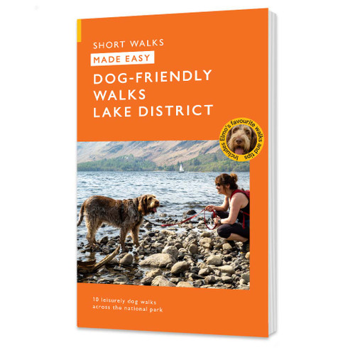
 Lake District Dog-Friendly Walks Made Easy Guidebook - OS Short Walks Made Easy
Ordnance Survey
£8.99 -




Delivery times
Order before 3pm weekdays for:
- Free standard delivery in up to five working days
- 1st Class delivery in 1-2 working days
- Priority Express Next Day delivery on the next working day
OS Historical 1896-1904 Maps, Relief Maps and Custom Made Map orders will take one extra day for printing. Framed and canvas products are handmade and usually take 10-12 working days to dispatch. If you order on a bank holiday we'll start on your order on the next working day. Standard delivery for OS Historical 1896 - 1904 Maps and Relief Maps are sent RM 48, and Next Day Delivery will be sent out Royal Mail 24.
An estimated delivery date will be shown in checkout once you enter your address and pick a delivery option.
Sorry, we do not currently deliver outside of the UK.
See Full Delivery information here.