




Pathfinder
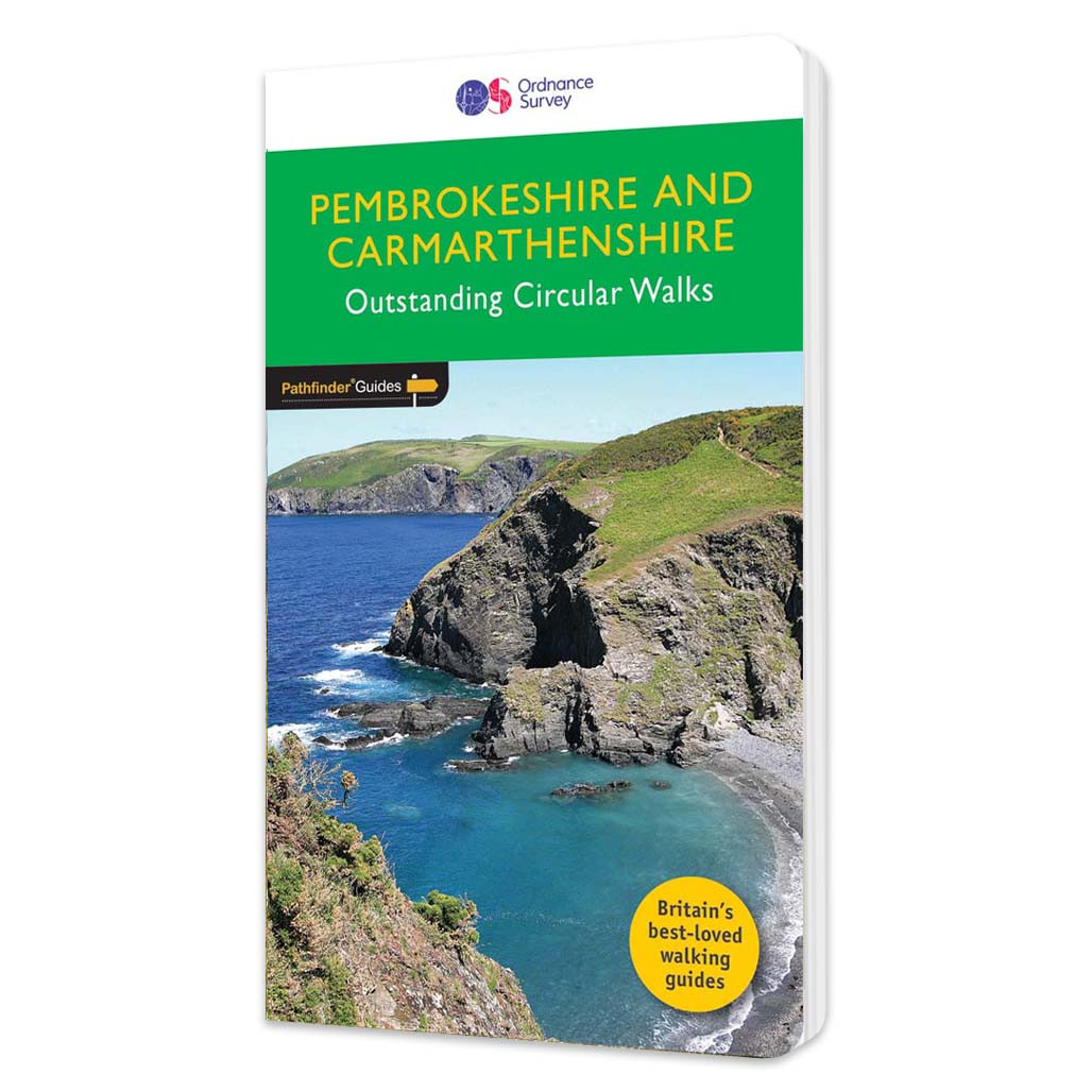
Pembrokeshire & Carmarthenshire Walking Guidebook - OS Pathfinder Guides
Free delivery on all orders (more info)
150 miles of enthralling walking along the Atlantic-hugging Pembrokeshire Coast Path. Follow scenic circular routes through rugged cliffs, golden beaches, and unforgettable coastal views…
Discover 28 beautiful walks through Pembrokeshire and Carmarthenshire with the OS Pathfinder Guidebooks, graded by length and ranging from 2 to 9 miles. Make the most out of your next trip to the Pembrokeshire & Carmarthenshire. This guide includes some of the most spectacular coastal scenery and finest stretches of coastal path in Britain. Many of the walks use parts of the Pembrokeshire Coast Path, including the splendid cliff scenery around the peninsula of Dinas Island to the west of Port Eynon Bay, to the wooded stretches between Saundersfoot and Tenby. This is one of a series of books with great walking routes covering the most popular and scenic areas of Britain.
What walks are inside Pembrokeshire & Carmarthenshire Walking Guidebook?
- Carew
- Manorbier
- St Non’s and Caerfai
- Llandeilo and Dinefwr Park
- Llansteffan and the Towy Estuary
- Broad Haven and Haroldston Wood
- Porthgain and Abereidd
- Dinas Island
- Pentre Ifan
- Brechfa Forest
- Blacktar Point, Llangwm and Benton Wood
- Saundersfoot and Tenby
- St David’s Head and Carn Llidi
- Goodwick and Carregwastad Point
- Solva and Pointz Castle
- Llawhaden and the Eastern Cleddau
- Cilgerran and the Teifi gorge
- Dale Peninsula
- Laugharne and the Taf Estuary
- Strumble Head
- Newcastle Emlyn and Cenarth
- Treffgarne gorge and mountain
- Wooltack Point and Marloes
- Gwaun Valley and Carningli
- Angle Point and West Angle Bay
- St David’s, Porth Clais and Ramsey Sound
- Bosherston Lily Ponds and the Green Bridge of Wales
- The Preseli Ridge

All-inclusive
Whether you’re looking for a long stroll or an exhilarating hike, there is something for everyone

Tried and True
All routes are tried and tested by seasoned walkers

Discover more
The best way to discover what an area has to offer. All walks are rated for difficulty

Durable & Weatherproof
Never get caught out in a storm with our durable and weatherproof Pathfinder guidebooks
You’re never lost with an OS map.
- Dave, Ordnance Survey Customer
I always feel confident following an OS map and route.
- Laura, Ordnance Survey Customer
Safe, reliable and easily accessible.
- Melanie, Ordnance Survey Customer
Love the reassurance that, when I’m mostly walking alone, I’m walking in the right direction and I’m on the right path.
- Margaret, Ordnance Survey Customer
The world’s best map maker.
- Dave, Ordnance Survey Customer
The freedom the maps give me to walk with confidence on my own.
- Joanne, Ordnance Survey Customer
The clarity, attention to detail and dependability are essential for nearly all outdoor activities.
- John, Ordnance Survey Customer
Exploring safely and having new adventures.
- Claire, Ordnance Survey Customer
Reviews
You might also love...
-
best seller

-


-

-

-
best seller


Delivery times
Order before 3pm weekdays for:
- Free standard delivery in up to five working days
- 1st Class delivery in 1-2 working days
- Priority Express Next Day delivery on the next working day
OS Historical 1896-1904 Maps, Relief Maps and Custom Made Map orders will take one extra day for printing. Framed and canvas products are handmade and usually take 10-12 working days to dispatch. If you order on a bank holiday we'll start on your order on the next working day. Standard delivery for OS Historical 1896 - 1904 Maps and Relief Maps are sent RM 48, and Next Day Delivery will be sent out Royal Mail 24.
An estimated delivery date will be shown in checkout once you enter your address and pick a delivery option.
Sorry, we do not currently deliver outside of the UK.
See Full Delivery information here.