




Pathfinder
More Lake District Walking Guidebook - OS Pathfinder Guides
Free delivery on all orders (more info)
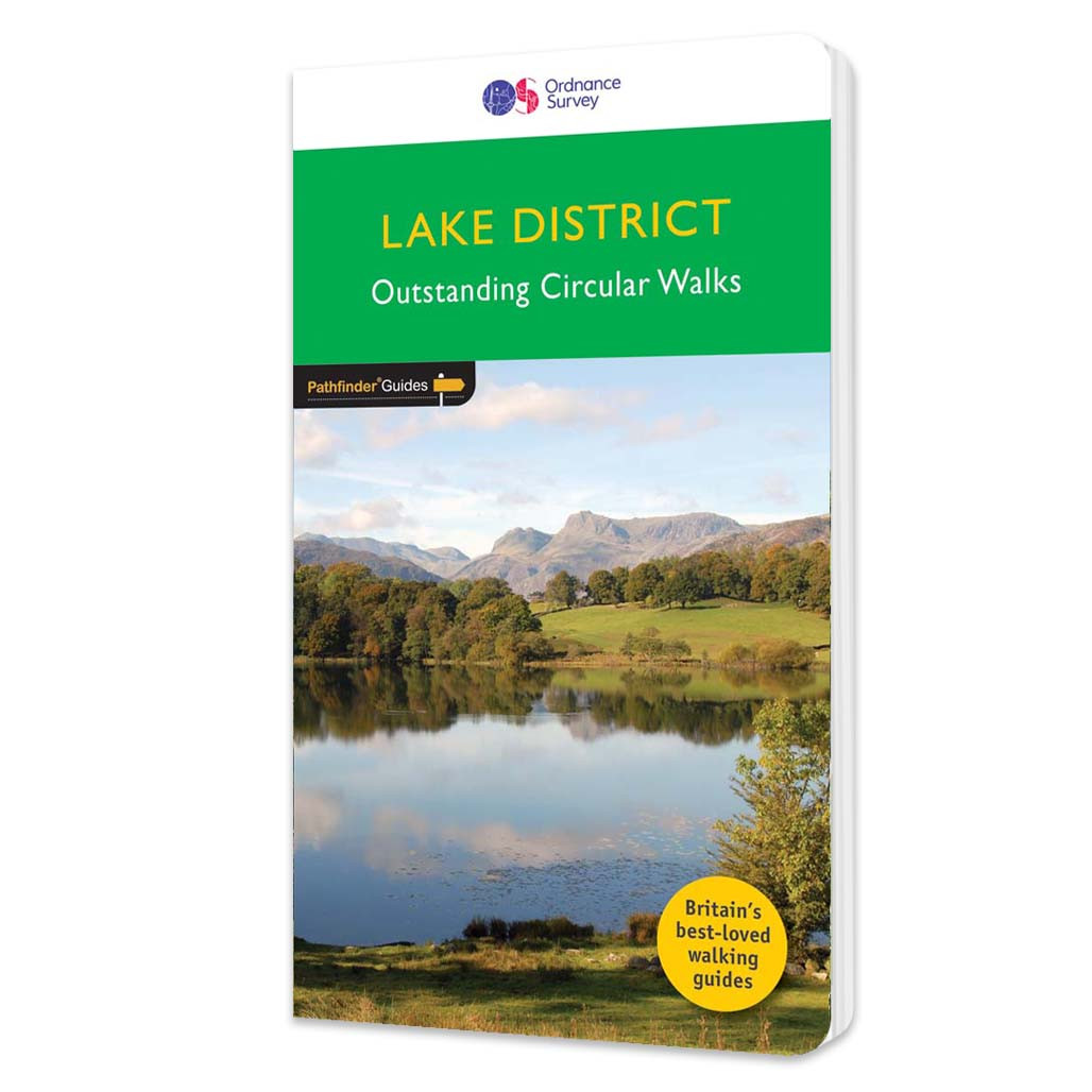
The Second Lake District title has 28 circular walks - all tried and tested by seasoned walkers. The routes range from extended strolls to exhilarating hikes, meaning there is something for everyone. This guidebook includes several walks that are either on the periphery of or outside the boundaries of the national park. There are two main reasons for this: the first is to reduce some of the pressure on the more popular parts of the Lake District, and the second is to encourage walkers to visit other areas of Cumbria were there is so much superb and varied scenery. Walkers have the opportunity to explore the atmosphere ruins of Shap Abbey and see St Bees Head, where the cliff tops are home to nesting birds and give a grandstand view to Gallows hill, the Isle of Man, and the distant Mourne Mountains.
What walks are inside More Lake District Walking Guidebook?
- Great Mell Fell
- Dalegarth and Eskdale
- Rannerdale Knotts
- Side Pike and Lingmoor Fell
- Aira Force and Gowbarrow Park
- Shap Abbey
- Adam Seat and Harter Fell
- High Rigg and St John’s in the Vale
- Castle Crag and the Jaws of Borrowdale
- Rydal Water and Grasmere
- Glenridding and Lanty’s Tarn
- Pavey Ark and Harrison Stickle
- Dodd
- Greendale Tarn, Seatallan and Middle Fell
- Bowscale Fell
- Lord’s Seat and Broom Fell
- Pooley Bridge and Barton Park
- Tarn Hows
- Dent and Kinniside Stone Circle
- Ennerdale
- Wast Water
- St Bees Head
- Crummock Water
- Dow Crag and Goat’s Water
- Place Fell
- Coledale Horseshoe
- Wet Sleddale, Swindale and Mosedale
- The Four Passes

All-inclusive
Whether you’re looking for a long stroll or an exhilarating hike, there is something for everyone

Tried and True
All routes are tried and tested by seasoned walkers

Discover more
The best way to discover what an area has to offer. All walks are rated for difficulty

Durable & Weatherproof
Never get caught out in a storm with our durable and weatherproof Pathfinder guidebooks
You’re never lost with an OS map.
- Dave, Ordnance Survey Customer
I always feel confident following an OS map and route.
- Laura, Ordnance Survey Customer
Safe, reliable and easily accessible.
- Melanie, Ordnance Survey Customer
Love the reassurance that, when I’m mostly walking alone, I’m walking in the right direction and I’m on the right path.
- Margaret, Ordnance Survey Customer
The world’s best map maker.
- Dave, Ordnance Survey Customer
The freedom the maps give me to walk with confidence on my own.
- Joanne, Ordnance Survey Customer
The clarity, attention to detail and dependability are essential for nearly all outdoor activities.
- John, Ordnance Survey Customer
Exploring safely and having new adventures.
- Claire, Ordnance Survey Customer
Reviews
You might also love...
-
best seller


-


-
best seller


-


-






Delivery times
Order before 3pm weekdays for:
- Free standard delivery in up to five working days
- 1st Class delivery in 1-2 working days
- Priority Express Next Day delivery on the next working day
OS Historical 1896-1904 Maps, Relief Maps and Custom Made Map orders will take one extra day for printing. Framed and canvas products are handmade and usually take 10-12 working days to dispatch. If you order on a bank holiday we'll start on your order on the next working day. Standard delivery for OS Historical 1896 - 1904 Maps and Relief Maps are sent RM 48, and Next Day Delivery will be sent out Royal Mail 24.
An estimated delivery date will be shown in checkout once you enter your address and pick a delivery option.
Sorry, we do not currently deliver outside of the UK.
See Full Delivery information here.