


-
Sale

-
Sale

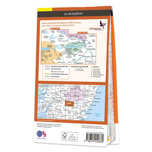 OS Map of Pitlochry & Loch Tummel: Explorer OL49
Ordnance Survey
MSRP: £12.99 - £16.99£9.74 - £12.74 -
Sale

 OS Map of Banbury, Bicester & Chipping Norton: Explorer 191
Ordnance Survey
MSRP: £12.99 - £16.99£9.74 - £12.74 -
Sale


-
Sale

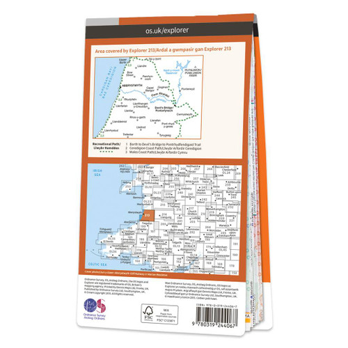 OS Map of Aberystwyth & Cwm Rheidol: Explorer 213
Ordnance Survey
MSRP: £12.99 - £16.99£9.74 - £12.74 -
Sale


-
Sale


-
Sale


-
Sale

 OS Map of Northwich & Delamere Forest: Explorer 267
Ordnance Survey
MSRP: £12.99 - £16.99£9.74 - £12.74 -
Sale


-
Sale

 OS Map of Lochnagar, Glen Muick & Glen Clova: Explorer OL53
Ordnance Survey
MSRP: £12.99 - £16.99£9.74 - £12.74 -
Sale

-
Sale

 OS Map of Iona, Staffa & Ross of Mull: Explorer 373
Ordnance Survey
MSRP: £12.99 - £16.99£9.74 - £12.74 -
Sale


-
Sale

-
Sale
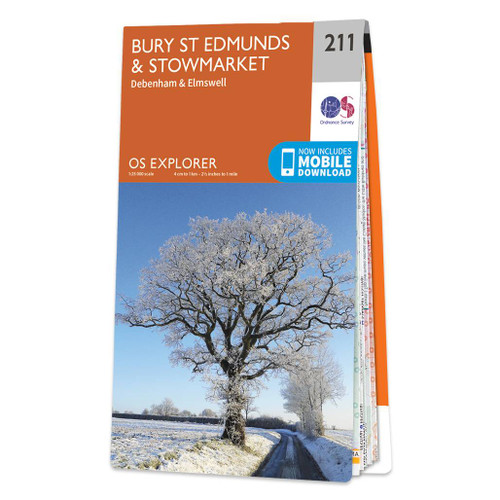
 OS Map of Bury St Edmunds & Stowmarket: Explorer 211
Ordnance Survey
MSRP: £12.99 - £16.99£9.74 - £12.74 -
Sale

 OS Map of Chelmsford & The Rodings: Explorer 183
Ordnance Survey
MSRP: £12.99 - £16.99£9.74 - £12.74 -
Sale


-
Sale
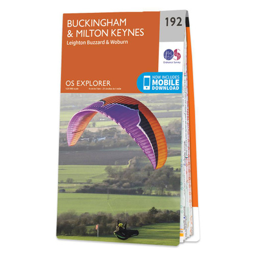
 OS Map of Buckingham & Milton Keynes: Explorer 192
Ordnance Survey
MSRP: £12.99 - £16.99£9.74 - £12.74 -
Sale

 OS Map of Ben Lawers & Glen Lyon: Explorer OL48
Ordnance Survey
MSRP: £12.99 - £16.99£9.74 - £12.74 -
Sale
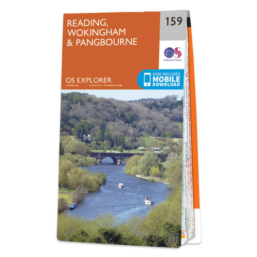

-
Sale


-
Sale

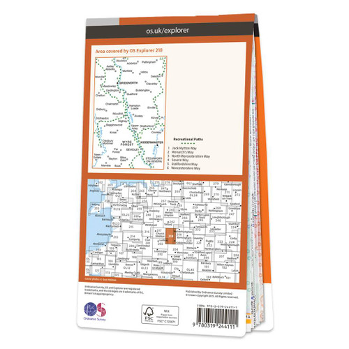 OS Map of Kidderminster & Wyre Forest Bridgnorth: Explorer 218
Ordnance Survey
MSRP: £12.99 - £16.99£9.74 - £12.74 -
Sale

 OS Map of Cannock Chase & Chasewater: Explorer 244
Ordnance Survey
MSRP: £12.99 - £16.99£9.74 - £12.74


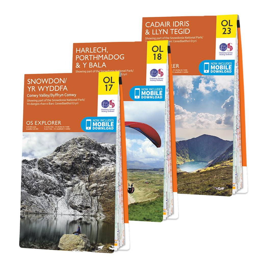


Discover OS Explorer maps and unlock Britain’s most detailed outdoor mapping, perfect for anyone who wants to explore landscapes with confidence and enjoy immersive walking and adventure experiences. Our maps are trusted by hikers, runners, cyclists and outdoor enthusiasts seeking accuracy and clarity on every route.
- OS Explorer maps use a highly detailed 1:25,000 scale which shows 4cm to 1km and gives unmatched clarity for outdoor exploration.
- They highlight official footpaths and rights of way as well as open access land which helps you plan authentic and safe walking routes.
- Precise contour lines and detailed vegetation markings help you understand the terrain which supports confident navigation on hills, moorlands and coastal paths.
- OS Explorer maps include campsites, car parks, pubs and tourist hotspots which make trip planning easier and more enjoyable for day walks and weekend adventures.
- Ideal for walking, hiking, off‑road cycling, horse riding, climbing and kayaking which makes them the most versatile map choice for outdoor activities.
- Every printed map includes a free OS Maps digital download which gives you the same detailed mapping on your phone for seamless navigation on the trail.
- With 403 OS Explorer sheets covering the whole of Great Britain you can explore national parks, coastal routes and remote wild areas with complete continuity.